Big Bend

The Big Bend area is one of my favorite places in Texas. This is the area north of the prominent bend in the Rio Grande where the course changes from running east-southeast to north-northeast. Within this area you’ll find Big Bend National Park [BBNP] (801,163 acres) and Big Bend Ranch State Park [BBRSP] (300,000 acres). In addition there is Black Gap Wildlife Management Area (103,000 acres), and the Chinati Mountains State Natural Area (39,000 acres).
In this vast area are sweeping vistas of the Chihuahuan Desert along with mountains, buttes and canyons. Surprisingly, there is even an 80-foot waterfall in BBNP. This all comes an assortment of wildlife including bears, mountain lions, aoudad and a few bighorn sheep. Additionally, there are numerous smaller mammals and reptiles.
All of this makes it a photographer’s dream; landscape and wildlife photography opportunities abound. However, as they say on the TV infomercials, “But wait, there’s more.” This is a great place for astrophotography too. This is because, BBNP has the least amount of light pollution of any national park in the lower 48 states. Both BBNP and BBRSP are dark sky parks. Believe me it gets dark, very dark. You cannot do this area justice if visiting for only a few days but that just means you’ll want to come back to visit what you missed.
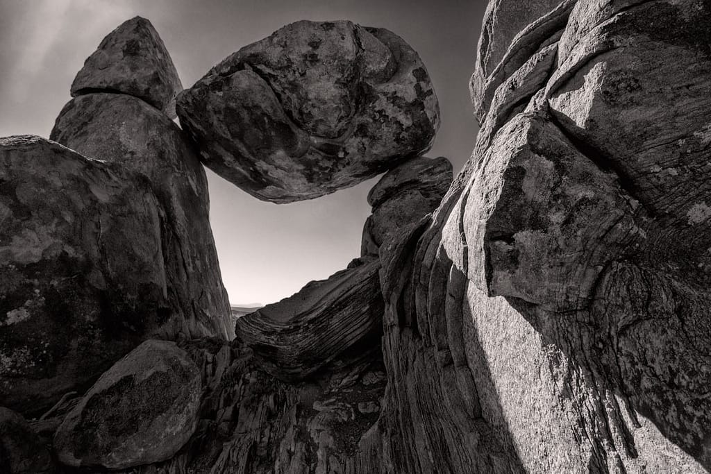
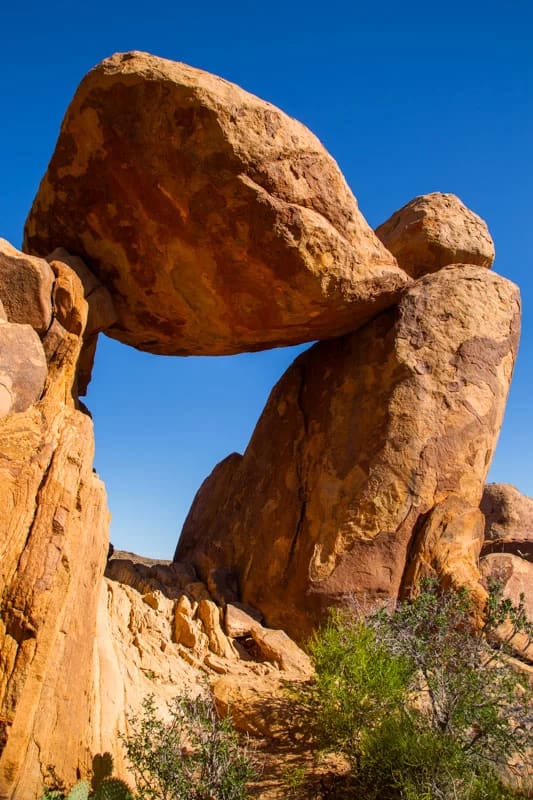
Balanced Rock – Big Bend National Park
Balanced Rock is probably the most photographed site in BBNP. As a result, it’s become an unofficial symbol of the park and you rarely see an article about the park without a photo of Balanced Rock. It’s like Paris and the Eiffel Tower, it may not be the most exciting part of your visit but it is the most recognizable reminder. For me, the most memorable part of Balanced Rock is getting there. It starts with 6 miles of bad road (4-wheel drive vehicle highly recommended) followed by a relatively easy 1-mile hike. The final stretch of 100-yards is especially interesting as you have to scramble up about 75-feet of rocks and boulders.

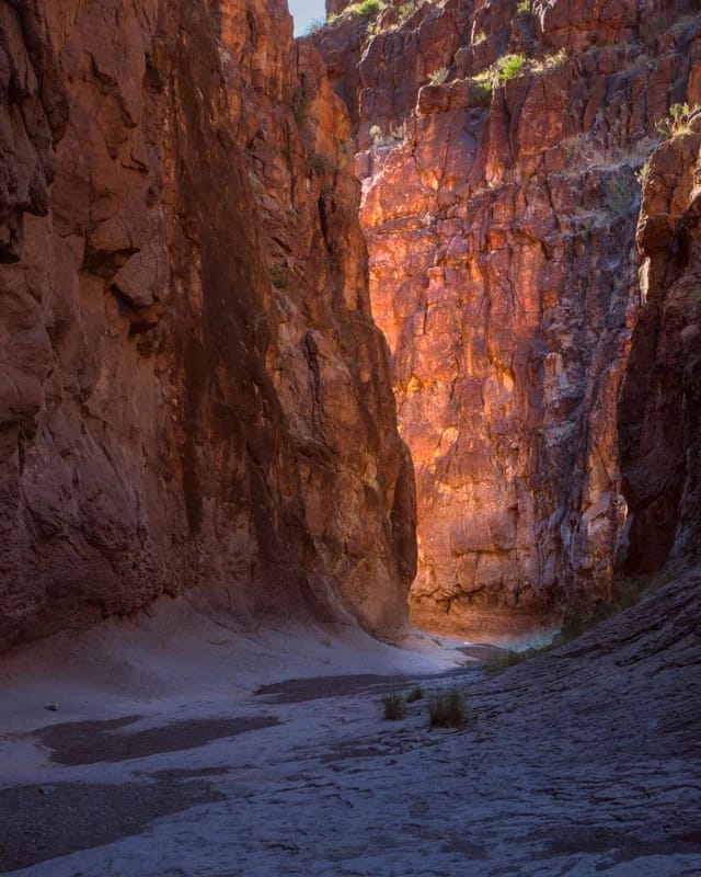
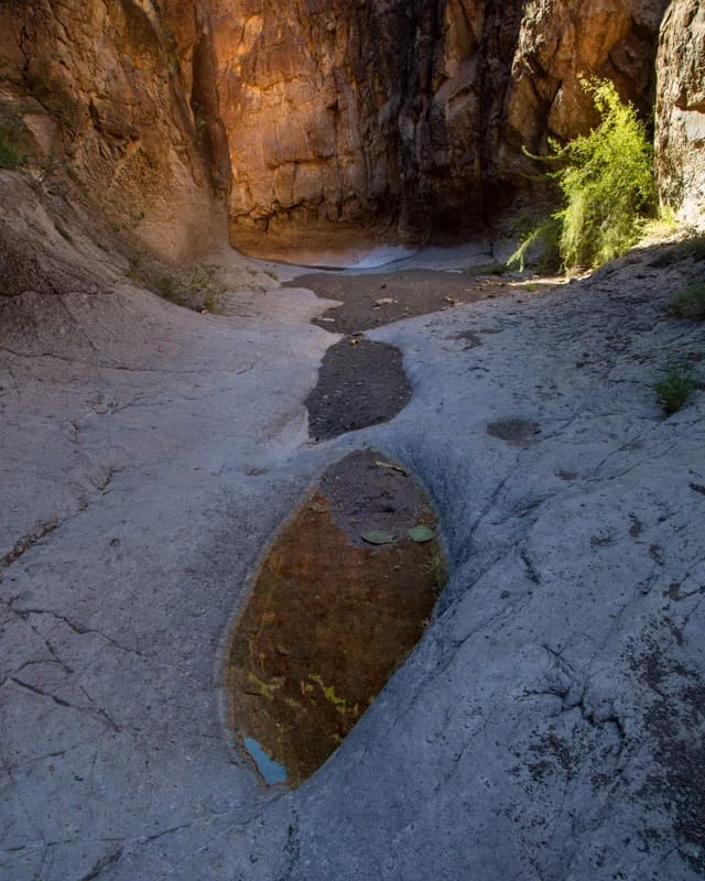
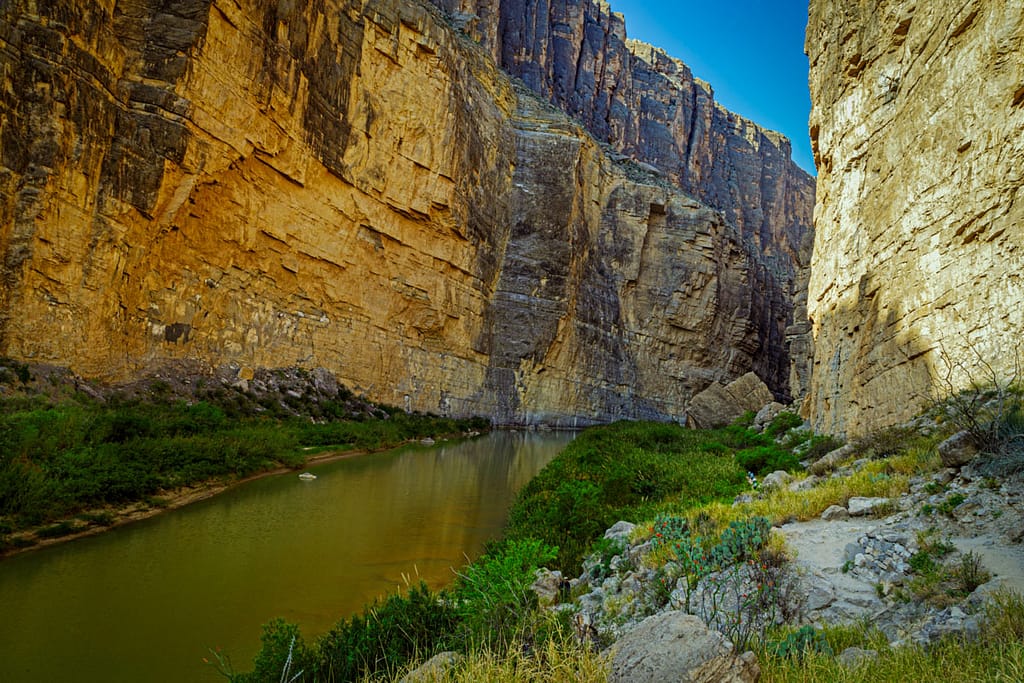
Closed Canyon – Big Bend Ranch State Park
My favorite site during my most recent trip was Closed Canyon in Big Bend Ranch State Park. This is a narrow canyon trail that takes you down a dry creek bed to the Rio Grande. It’s an easy 1-mile hike although there are a few “steps” you have to negotiate. As you get closer to the end it becomes more of a slot canyon. We didn’t make it all the way to the end as it was getting late in the day and we weren’t sure how we would get back up the last few “steps” on the return. Because of its beauty it is definitely on my list for a return visit.


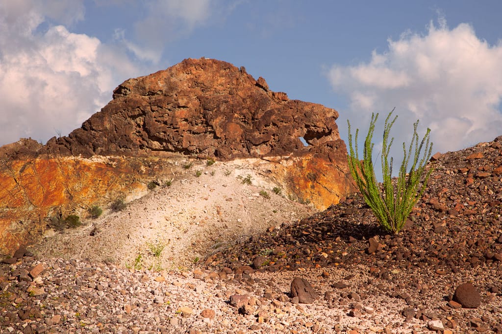
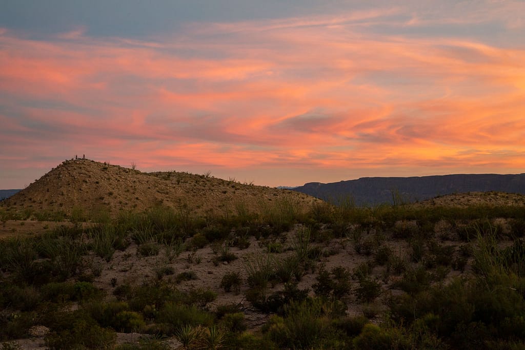
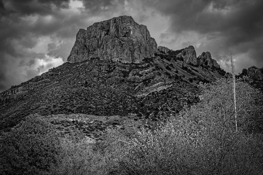
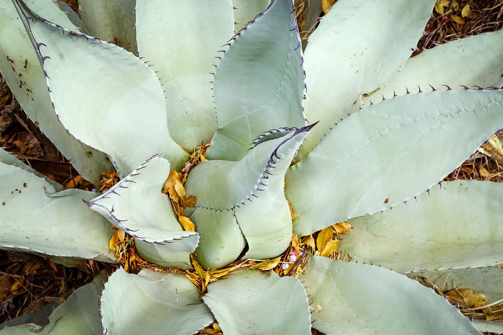
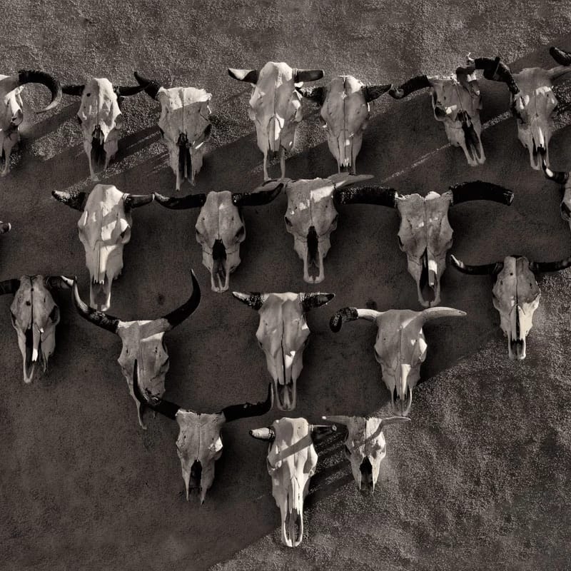
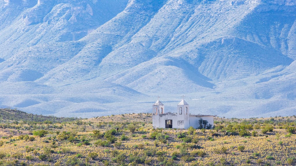
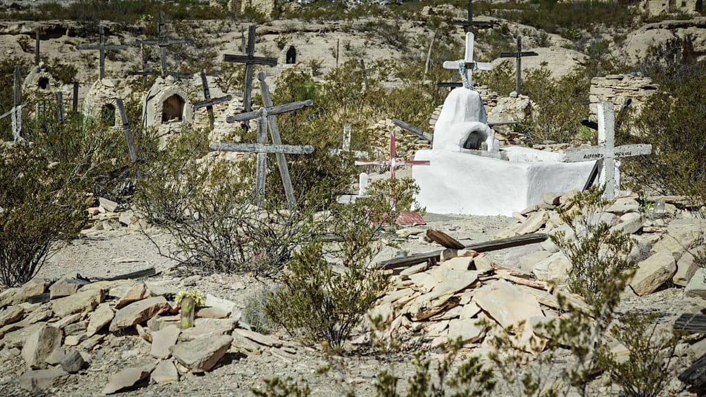
Other Photos
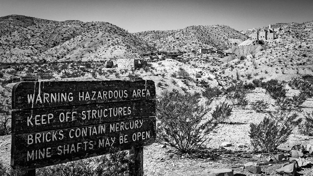
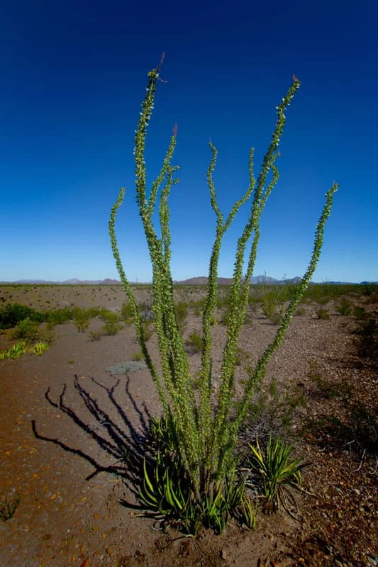
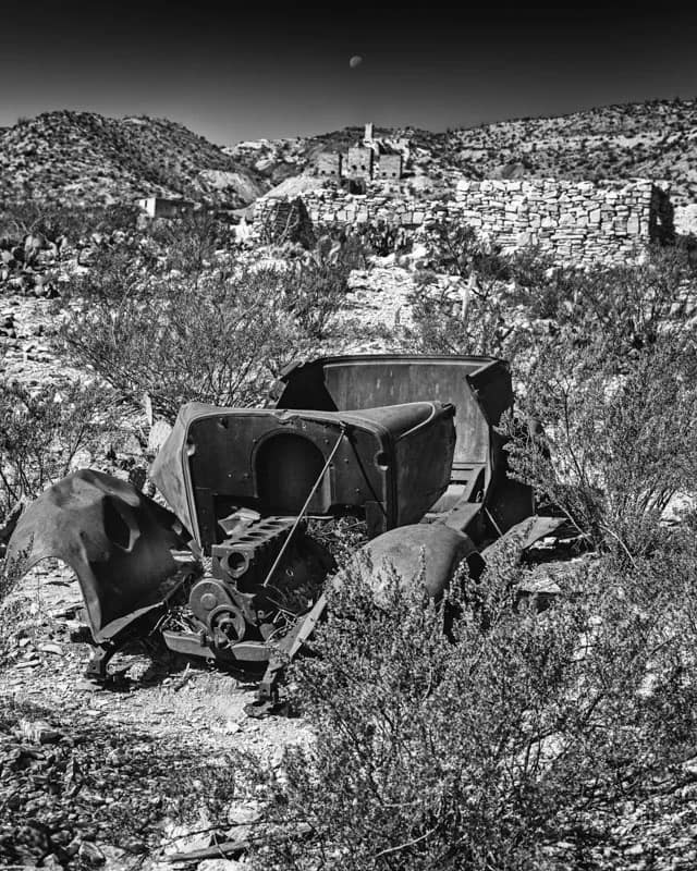
Here’s an sampling of other shots from both my recent trip and one in 2017.


Leave A Comment And Share
What is your favorite area to visit? I would love to hear your comments and feedback. So, please leave a comment in the comment box below.

